| |
117 photos from Phillip Island
(Victoria, Australia)
2014-09-11
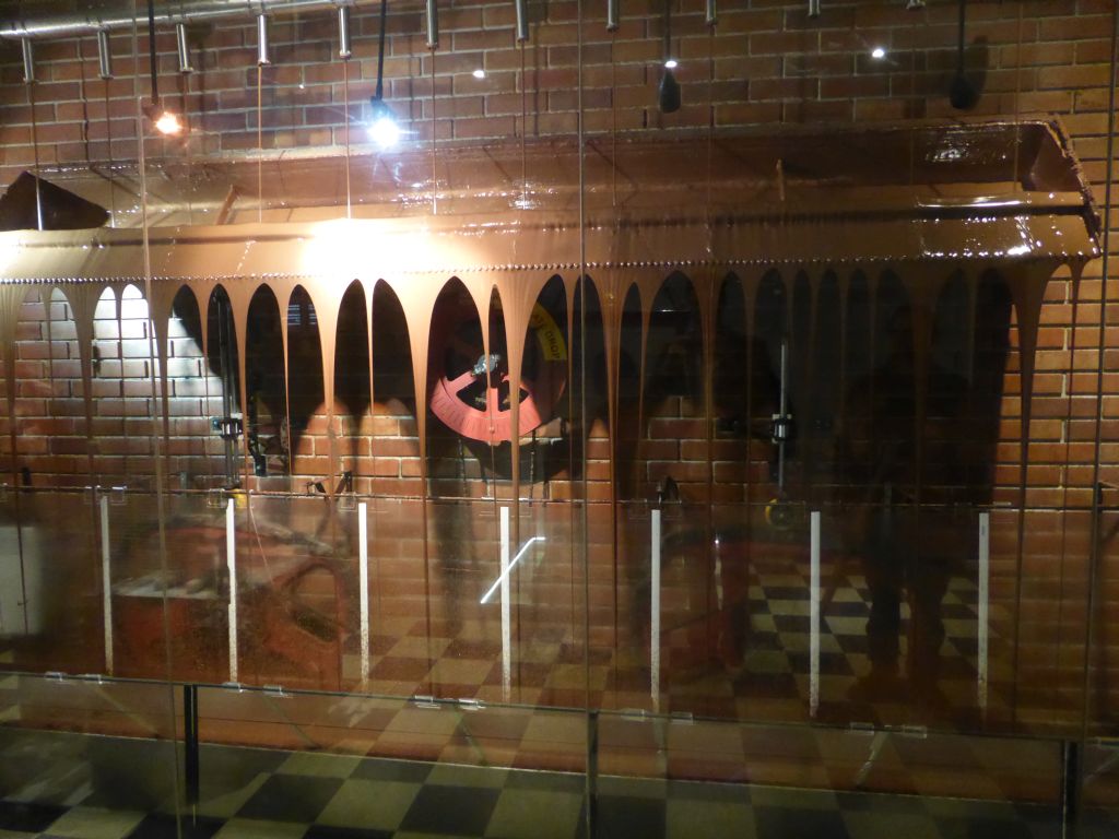
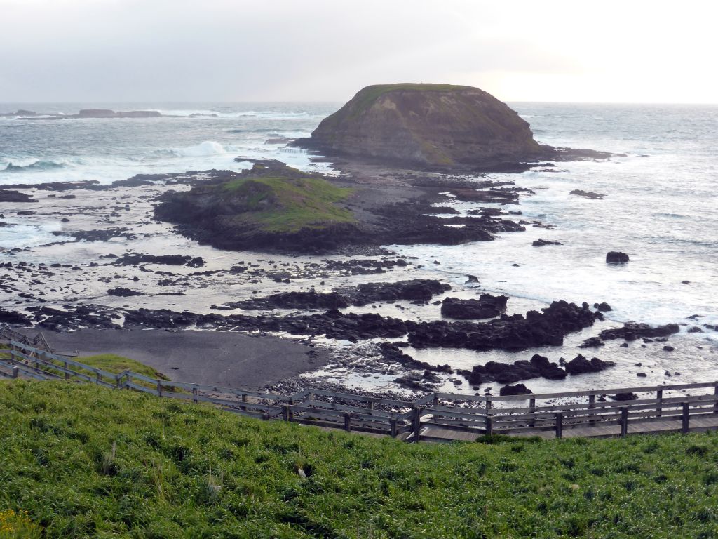
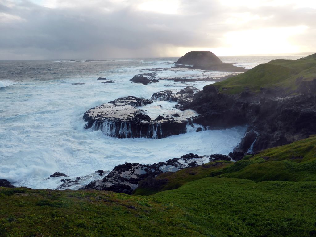
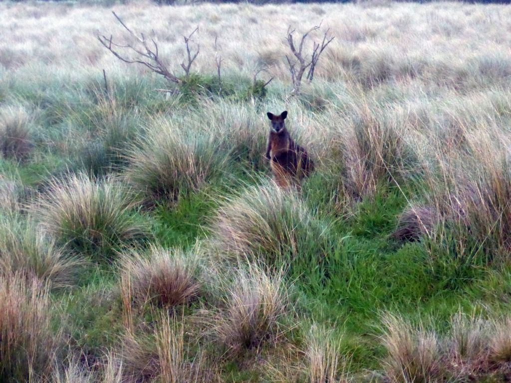
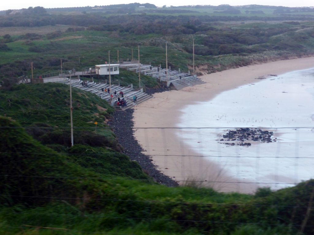
Phillip Island is an island about 140 km south-southeast of Melbourne, Victoria. Named after Arthur Phillip, the first Governor of New South Wales, Phillip Island forms a natural breakwater for the shallow waters of Western Port. A 640 m concrete bridge connects the mainland town San Remo with the island town Newhaven. In the 2011 census the island`s permanent population was 9,406. During the summer, the population swells to 40,000. 60% of the island is farmland devoted to grazing of sheep and cattle. Phillip Island is a tourist destination visited by 3.5 million people annually. The Penguin Parade at Phillip Island Nature Park, in which Little Penguins come ashore in groups, attracts visitors from all over the world. They come to see one of the few areas where this species of penguin can be seen. The western tip of the island contains the Nobbies Centre, which offers a view on the The Nobbies and the Seal Rocks, home to Australia`s largest colony of fur seals. We visited the Phillip Island Chocolate Factory, the Nobbies Centre and the Penguin Parade.
MORE
117 photos from Phillip Island
(Victoria, Australia)
2014-09-11
Phillip Island is an island about 140 km south-southeast of Melbourne, Victoria. Named after Arthur Phillip, the first Governor of New South Wales, Phillip Island forms a natural breakwater for the shallow waters of Western Port. A 640 m concrete bridge connects the mainland town San Remo with the island town Newhaven. In the 2011 census the island`s permanent population was 9,406. During the summer, the population swells to 40,000. 60% of the island is farmland devoted to grazing of sheep and cattle. Phillip Island is a tourist destination visited by 3.5 million people annually. The Penguin Parade at Phillip Island Nature Park, in which Little Penguins come ashore in groups, attracts visitors from all over the world. They come to see one of the few areas where this species of penguin can be seen. The western tip of the island contains the Nobbies Centre, which offers a view on the The Nobbies and the Seal Rocks, home to Australia`s largest colony of fur seals. We visited the Phillip Island Chocolate Factory, the Nobbies Centre and the Penguin Parade.
MORE
|

|


